
GIS & Remote Sensing Services
Custom mapping, field digitization, yield estimation, loss verification.
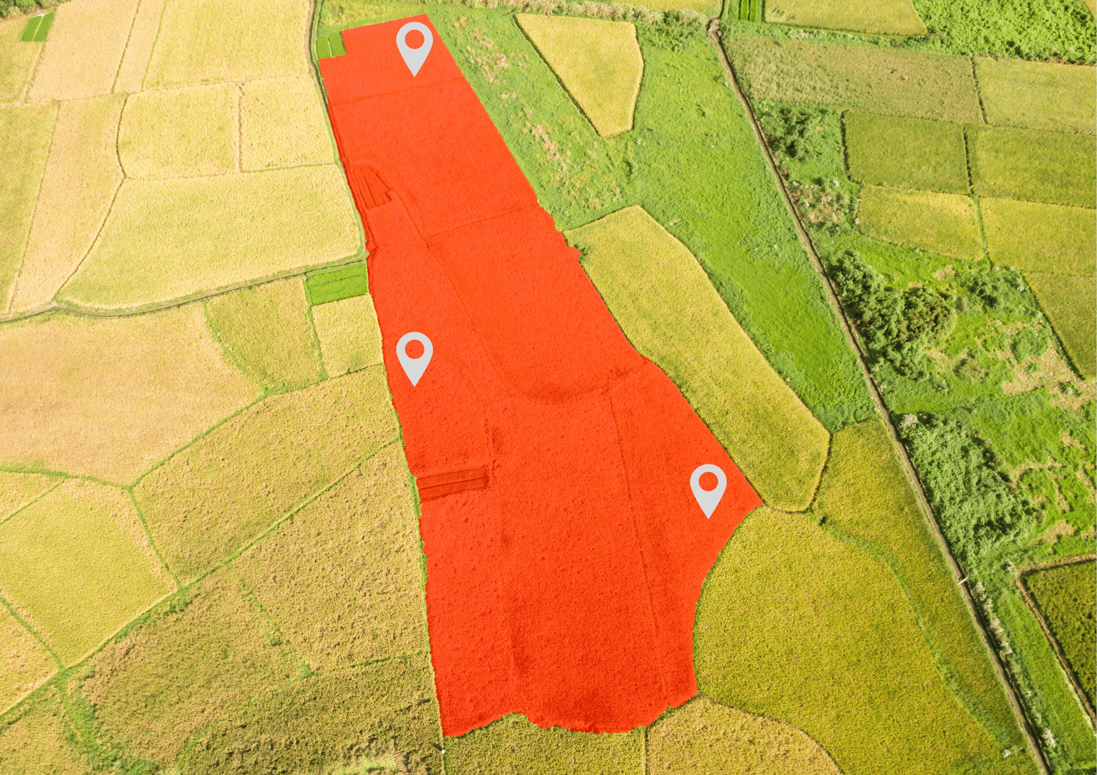
Beyond the self-serve AGROGIS platform, our team delivers custom GIS and remote-sensing services on demand. Field boundary digitization for farms migrating from paper records, satellite-based yield estimation for pre-harvest forecasts, post-event loss verification for insurance and damage claims — anything that needs a geospatial expert.
What you get
Everything you need to make field decisions based on data — not assumptions. Features included in this solution:
- / 01
Field boundary digitization from aerial imagery, drone photos or GPS
- / 02
Pre-harvest yield estimation with biomass models from satellite imagery
- / 03
Insurance loss verification (hail, flood, drought) with before/after imagery
- / 04
Custom cartography for reports, presentations and audits
- / 05
Historical land-use analysis (1980s–present)
- / 06
GeoJSON, Shapefile and GeoTIFF deliverables
How it works
How it works, step by step, from the first message to the result.
- 1
Tell us your scope
Email or call with your project requirements.
- 2
Scoping and quote
We confirm feasibility and provide a fixed quote.
- 3
Delivery
GIS files, PDF reports, or both — 1–4 weeks depending on scope.
Frequently asked
What is the typical turnaround?
Field boundary digitization: 1–2 weeks for up to 500 ha. Loss verification: 3–5 business days. Custom reports: 2–4 weeks.Do you work outside the EU?
Yes. We deliver services worldwide. The underlying satellite imagery covers the whole planet.

Ready to start?
Try it on your own parcels, or tell us what you need — we reply within one business day.