
Six fields, drawn once
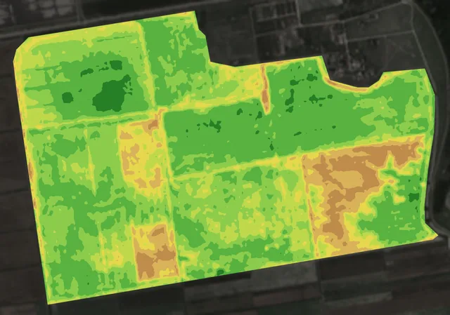
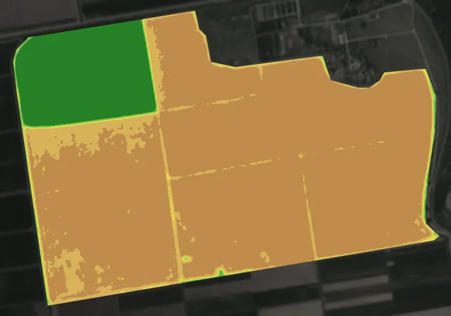
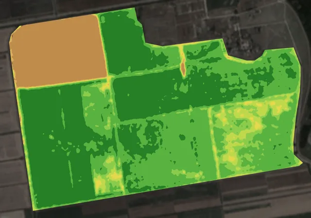
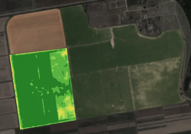
The farm’s 321 hectares are six fields, A to F, from 26.7 to 83.6 hectares: one outline, split along the farm’s own tracks.
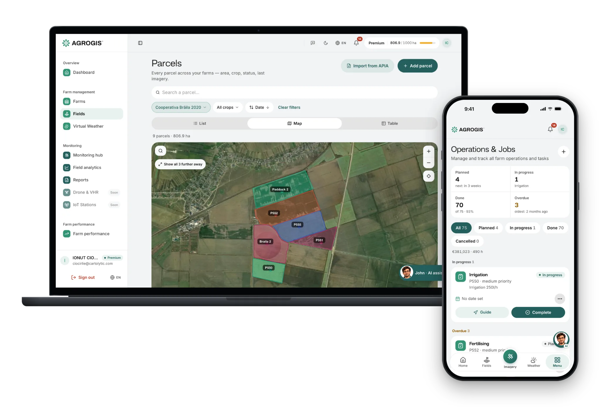
Draw them on the map, import them as GeoJSON, KML or KMZ, or bring them in from APIA.
What you do: Draw your fields once: every image, job and record after that sits on them.
Crop Vigor · 5 June 2025